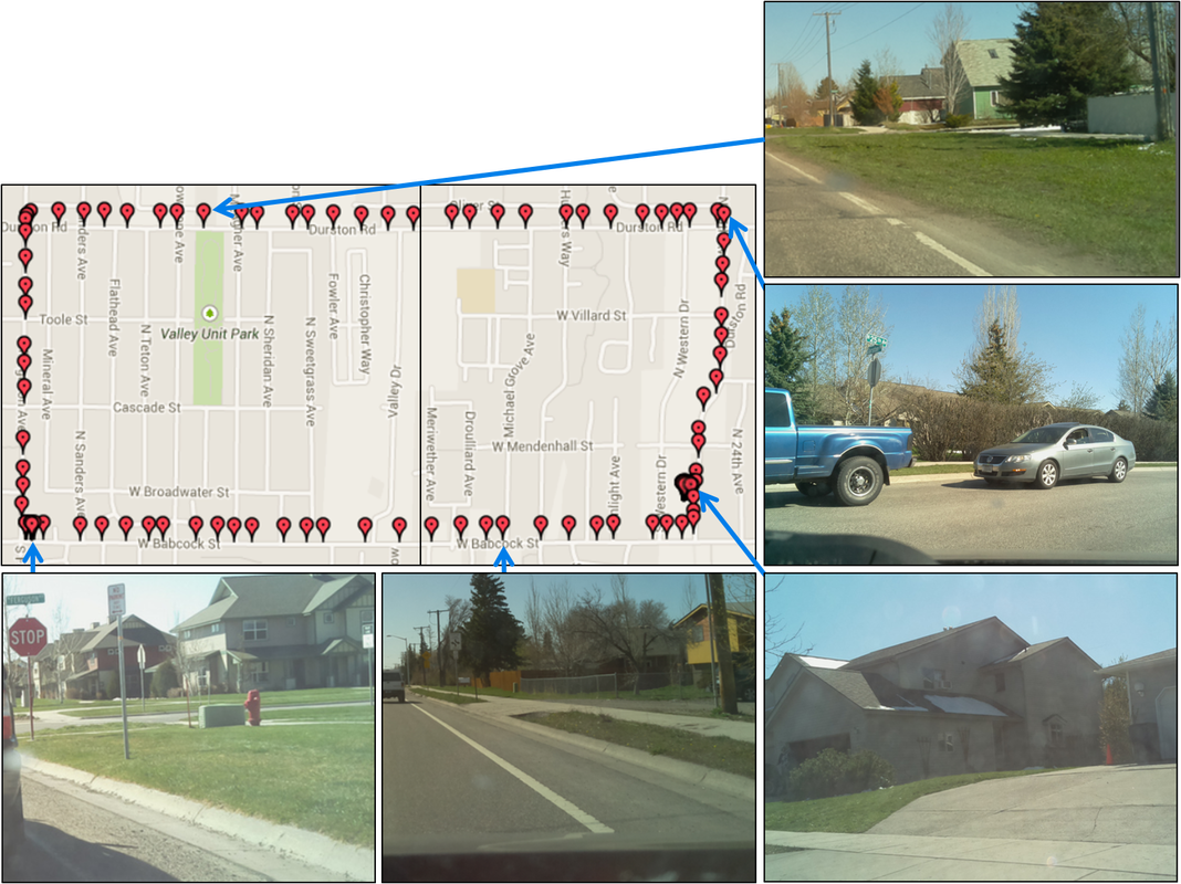
Our Critical Subsystem showed:
- A working GPS
- A functioning standard camera
- A log of images with geotagged information
We also completed a "car test" where the Critical Subsystem was placed on the dashboard of the car and run to take pictures and collect data; using this test we collected data showed our Subsystem was functioning as desired.